Anantapur
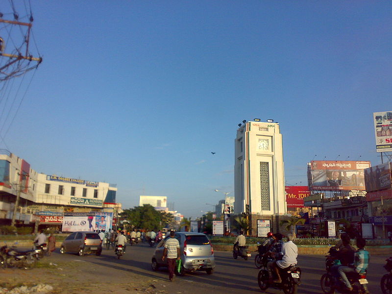
Anantapur is a city in Anantapur district of the Indian state of Andhra Pradesh. It is the mandal headquarters of Anantapur mandal and also the divisional headquarters of Anantapur revenue division.[2] The city is located on National Highway 44. It was also the headquarters of the Datta Mandalam (Rayalaseema districts of Andhra Pradesh and Bellary district of Karnataka) in 1799. It was also a position of strategic importance for the British Indian Army during the Second World War
Climate
Anantapur has a semi-arid climate, with hot and dry conditions for most of the year. Summers start in late February and peak in May with average high temperatures around the 37 °C (99 °F) range. Anantapur gets pre-monsoon showers starting as early as March, mainly through north-easterly winds blowing in from Kerala. Monsoon arrives in September and lasts until early November with about 250 mm (9.8 in) of precipitation. A dry and mild winter starts in late November and lasts until early February; with little humidity and average temperatures in the 22–23 °C (72–73 °F) range. Total annual rainfall is about 22 in (560 mm).
Demographics
According to the 2011 census, Anantapur has a population of 262,340. The sex ratio was 995 females per 1000 males and 9% of the population was under six years old.[6] Effective literacy is 82%, male literacy is 89% and female literacy is 75%. Telugu, Urdu,[7] Kannada and English are the predominant languages of this city.
No comments:
Post a Comment